Search:
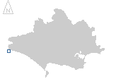
Lyme Regis
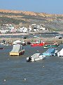
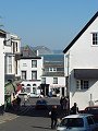
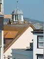
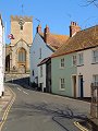
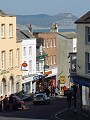
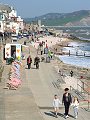
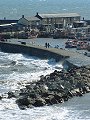
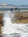
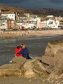
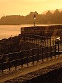
A small coastal town at the western end of the county, very busy when the weather is good but still having a lot to offer on the colder and more overcast days – such as on the days in February and April when these photographs were taken. Famous for its shops selling fossils from the Jurassic cliffs (on either side of the inlet) and for its harbour – the Cobb, first built sometime in the 13th century – its many small twisting streets are dotted with art galleries, artists studios, bistros and restaurants.
|
|
|
|
|
|
|
|
|
|
|
To view any image full size - simply click on the thumbnail
| ||||
Find out more ... |
|
In the top row of pictures:
In the bottom row of pictures:
Nearby locations that also feature in galleries on this site:
More views of Dorset in February Other sites on the webThe coastline shown here forms part of the Jurassic Coast World Heritage Site West's Geology Field Guide to the Lyme Regis area The Dorset Page: Lyme Regis – local information and links to further resources on the web Maps of the area on streetmap.co.uk: 1:50,000 – detail, 1:250,000 – locality and route to get there
|