Search:
Shapwick
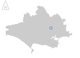
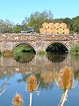
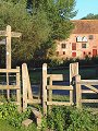
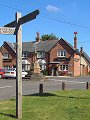
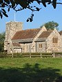
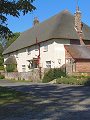
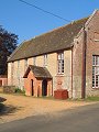
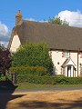
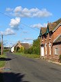
A small village in the Stour valley, approximately mid-way between Wimborne and Blandford Forum. Farming dominates this area and settlements tend to be small and spread out. The village lies on the Kingston Lacy Estate (note the uniform colour of the paint used for all door and window frames in the village – as used on all other buildings on the estate) and consequently has been able to resist the pressure for expansion in recent years, unlike Sturminster Marshall just a few miles down river.
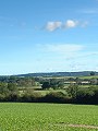
The pictures shown here were taken over a couple of bright and relatively clear days early in September, with the shadows already taking on the depth more usually associated with winter.
|
|
|
|
|
|
|
|
|
|
|
To view any image full size - simply click on the thumbnail
| ||||
Find out more ... |
|
In the top row of pictures:
In the bottom row of pictures:
Nearby locations that also feature in galleries on this site:
More views of Dorset in September Other sites on the webThe Dorset Page: Shapwick – local information and links to further resources on the web Maps of the area on streetmap.co.uk: 1:50,000 – detail, 1:250,000 – locality and route to get there
|